
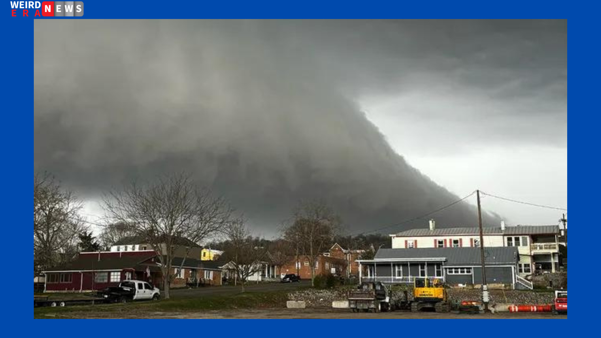
Tuesday’s severe weather outbreak is still ongoing, posing a serious risk of long-track tornadoes from the Ohio Valley to the Southeast.
In certain areas of Ohio, northern and central Kentucky, and southeast Indiana, there is a Level 4 out of 5 danger of severe weather, according to NOAA’s Storm Prediction Center. This covers Louisville and Lexington in Kentucky as well as Columbus, Cincinnati, and Dayton in Ohio. From the Ohio Valley, a Level 3 out of 5 risk area encompasses the mid-South and Southeast, including the cities of Indianapolis, Indiana; Nashville, Tennessee; Atlanta, Georgia; and Birmingham, Alabama.
Tuesday’s severe weather outbreak is predicted to be more powerful than Monday’s, with the possibility of powerful, long-track tornadoes that could rip across portions of Ohio, northern and central Kentucky, and southeastern Indiana. On Monday, storms inflicted damage in the nation’s heartland.
Strong tornadoes pose a concern in some areas of Alabama and Georgia from Tuesday evening into Tuesday night, as part of a larger severe weather risk that stretches across the Southeast.
Supercells are predicted to form following the passage of the warm front, which is why forecasters are concerned about a second round of severe weather that is likely to start Tuesday afternoon. Supercells were still active during the first round of severe thunderstorms that affected parts of the Ohio Valley on Tuesday morning. Apart from the noteworthy possibility of tornadoes, the FOX Forecast Center reported the possibility of huge hail and wind gusts above 70 mph.